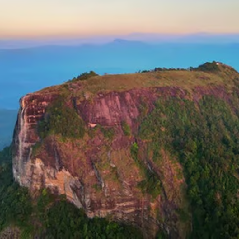
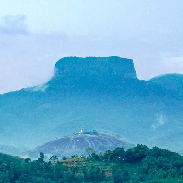
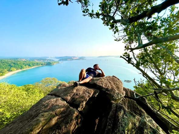
Bathalegala is a famous mountain landmark located near Aranayaka in the Sabaragamuwa region of Sri Lanka. In addition, this historic flat-topped peak is well known for offering dramatic panoramic views.
Because it features scenic jungle trails and high rock cliffs, Bathalegala provides an extraordinary hiking experience for travelers. Therefore, it is a very popular destination for visitors exploring the Kegalle district.
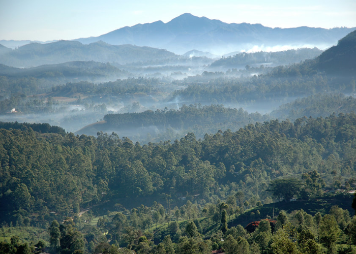
Furthermore, the high plateau offers a peaceful environment to watch sunrises and photograph misty mountain valleys. However, visitors should plan their journey during drier months to avoid slippery rock paths during heavy rains.
Consequently, travelers can easily plan their trip using Google Maps to find the location.
Location on Map
Things To See
What can we do ?
Bathalegala is an iconic mountain destination offering hiking, camping, panoramic photography, and historical exploration.
Hike to the flat summit peak through shady forest trails and scenic rocky pathways
Capture panoramic 360-degree views overlooking Asupini Ella, Ambuluwawa, and the Kadugannawa mountain range
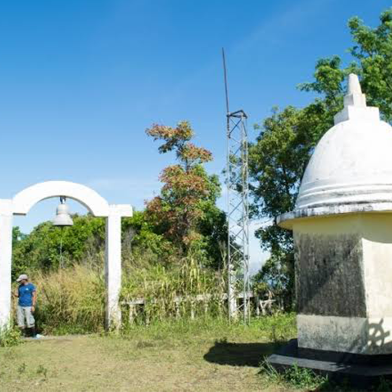
Explore ancient mountain cave ruins and historic water ponds located near the summit plateau
Experience spectacular sunrise and sunset views over misty highland valleys and distant green hills
Enjoy peaceful nature camping on the plateau top under clear star-filled night skies
Which time best for visit ?
The Dry Season from December to April is the best session for traveling to Bathalegala, ensuring dry rocky paths and clear summit views without heavy mountain mist.
Early Morning (Sunrise / Golden Hour)
Best for catching sunrise views, cool hiking temperatures, clear mountain visibility, and soft light for photography
Late Afternoon (Sunset / Golden Hour)
Ideal for catching sunset views over the Sabaragamuwa valleys before descending before dark
Midday
Not recommended due to extremely slippery rock surfaces, strong winds, and dense fog obstructing mountain views
Night
Night hiking requires proper camping gear, flashlights, and local guides due to steep cliff edges
Early Morning (Sunrise / Golden Hour)
Cool weather, soft light, fewer crowds
Late Afternoon (Sunset / Golden Hour)
Warm tones, scenic skies, ideal for photos
Midday
Not recommended due to heat and harsh sunlight
Night
Suitable only for city lights and special photography
How can we arrive?
Bathalegala is located in Hasalaka/Gewilipitiya near Aranayaka, roughly 20 km from Mawanella and 95 km from Colombo.
By Bus
Board any main bus traveling along the Colombo–Kandy highway (A1) to Mawanella town. From Mawanella bus station, take a local bus towards Aranayaka / Gewilipitiya, followed by a tuk-tuk ride to the trail starting point at the rock base.
By Train
Take the Main Line train from Colombo Fort to Rambukkana Railway Station or Kadugannawa Railway Station. From the station, hire a private taxi or take local buses to Aranayaka.
ByPrivete Vehicle
Drive via the Colombo–Kandy road (A1 highway) up to Mawanella. Turn right onto the Mawanella–Aranayaka road (B278), proceed towards Gewilipitiya, and follow signs leading up to the Bathalegala foothill parking area.
Start planning your
Sri Lanka trip
for free
Build your itinerary, save places, optimize routes, and explore Sri Lanka with KKF Trip Basket.